 |
|
||
|
|||||
Right now, we are going to the very first place which is the 3rd infiltration tunnel. From this point, I’ll tell you how we found this tunnel. We found this tunnel based upon some information we got from a defector from North Korea. His name was Kim Buseong. After he defected to South Korea, he told us that he was a measuring engineer for this particular tunnel, which means he was related to this tunnel somehow himself. So he was able to provide us with some reliable information particularly about the location of this tunnel. With all the tips we got from him, what our government did was to place 107 PVC sylinder pipes along the expected invasion route to South Korea, and we filled all the pipes with water. And then 3 years later in 1978 water erupted from one of those pipes because of pressure from dynamite explosion. They used so many dynamites as a major tool to dig this tunnel. If dynamites explode, this creates pressure which pushes water out of the pipe. And then what our government was trying to do next was to place 5 additional pipes nearby the place where water came out in order to confirm the exact location of this tunnel. Later in the middle of making 5 boreholes for those 5 additional pipes, we just happened to penetrate this actual tunnel. We were confirmed that there must be a hollow space under the ground by noticing that the water keeps sinking down through one of those pipes. This is how we found this tunnel.
This is where the tunnel lies. Before we actually explore it, let me tell you in more detail about this tunnel looking at this picture here. First of all, the total length of this tunnel is 1635 meters, but the majority of this tunnel stays in North Korea and only small portion of it stays in South Korea. This is the border called MDL and this side is North Korea and this side is South Korea. As you can see, 1200 meters of this tunnel stays in the North and the rest stays in the South which is 435 meters. After we found this tunnel, what our government did was to install these three blockades in order to prevent North Korea from using this tunnel again. Because of all these blockades, tourists can explore this tunnel only from the beginning to this 3rd blockade. The distance between these two is 265 meters. All these blockades are really thick concrete walls with a small opening and door on them. Through the opening on this 3rd blockade you can see another blockade which is supposed to be the second blockade. This 3rd blockade is very close to the border, only 170 meters away from the border. Once you reach this 3rd blockade, you are standing only 170 meters away from the border in the middle of DMZ. Once again this tunnel lies 73 meters under the ground which is as high as 25-story building. We have to go down this deep using this walkway tunnel built by South Korea for tourists. The length of this walkway tunnel is 358 meters, but the only problem with this walkway which will make you do good exercise is the slope. It’s sloped 11 degrees, so walking down is very easy but walking back up will not be as easy as it might look and will be the most difficult part of this tour. Most of the time you walk through the tunnel, you have to bend down or bend over a little like this because the top is quite low. Because of this, if you have any knee, back, or heart problem, or particularly claustrophobia or asthma or high or low blood pressure, please do not join us. You can just wait outside. Inside this building, they have many cabinets prepared for you.
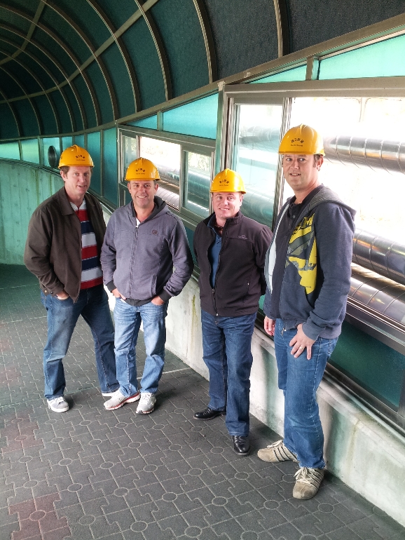
You are required to leave your bag and camera in the cabinet before you actually go in. Taking pictures is not allowed in the tunnel. If you are done with that, I need you to wait here in two lines. Let’s go in. Please grab one of these yellow helmets and put it on. This is very important to protect your head.
This is the end of this walkway tunnel, and this is the actual infiltration tunnel dug by North Korea. This is the specific point where this walkway tunnel penetrated this actual tunnel and this is the point where they ended up when we found this tunnel in 1978. All those holes you see on the rock walls are dynamite holes, facing the South and marked with yellow color paint. If you look up here, you can see two boreholes. This is the borehole which happened to penetrate this actual tunnel. From this, we knew the exact location of this tunnel. This is another borehole made by South Korea to bring down a camera to observe this tunnel. From this point, we will walk 265 meters up to the 3rd blockade. Please be careful from here and stay down.
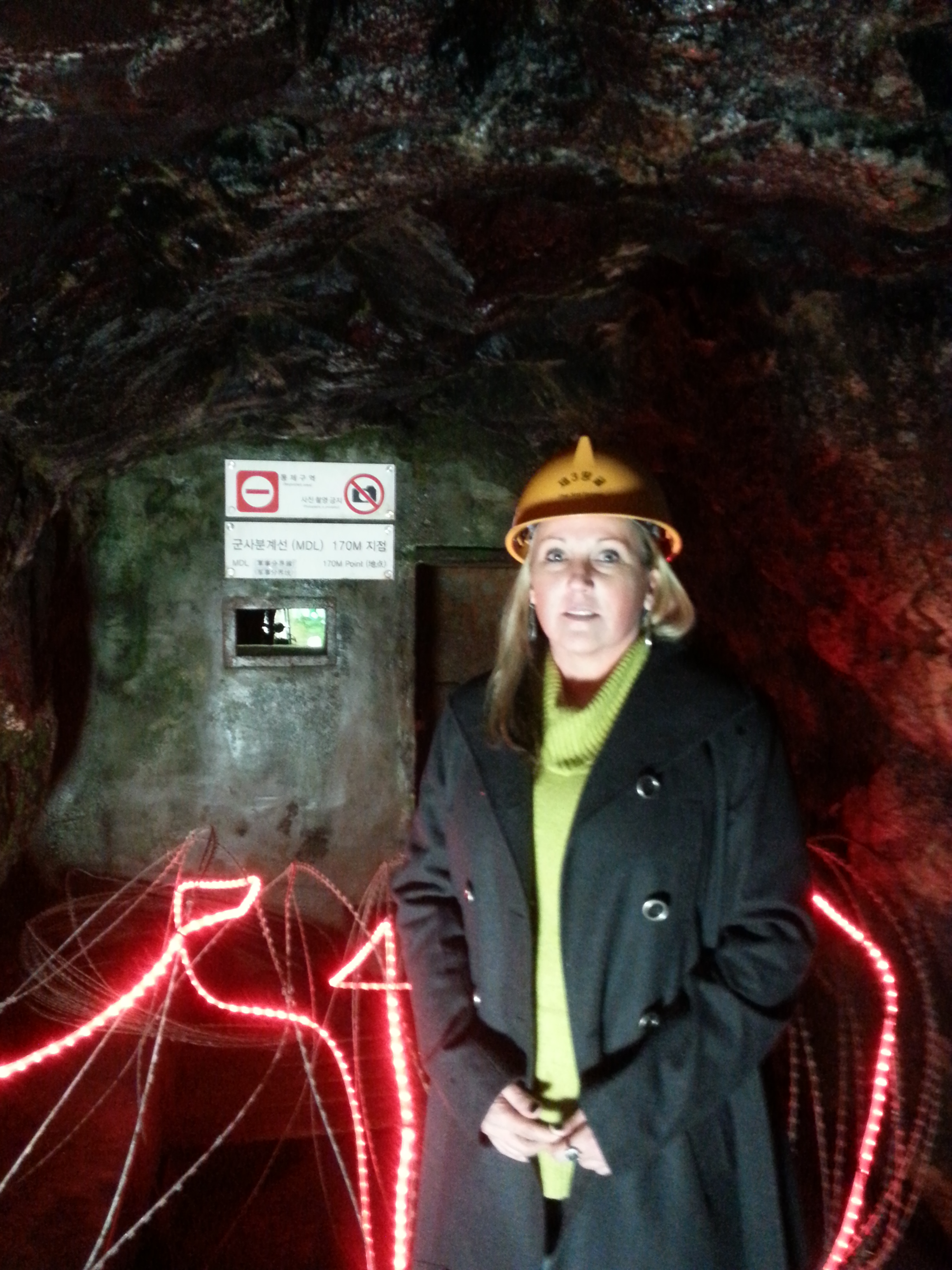
Finally, this is the 3rd blockade. This is as far as we can go toward the North. Through the opening here, you can see another blockade which is the 2nd blockade. So once again all of you are standing only 170 meters away from the border in the middle of DMZ. If you look up, you can see this black color thing. This is the coal which was put manually by North Korea to make this tunnel look like a coal mine. I want each one of you to check out this 3rd blockade before you go out. I’ll see you on the bus.
Did you enjoy this tunnel exploration? This must have been very good exercise for you. For a long time after we found this tunnel, North Korea denied that they dug this tunnel. They even argued that we dug this tunnel. However, we have found some clear evidence that proves that they are the one who dug this tunnel, not South Korea. We discovered that all dynamite holes on the rock walls are facing the South, and additional evidence is that the actual tunnel is sloped 0.003 degrees toward the North. Can you guess why they did this? They did this for automatic water drainage. There is a water tank between the 2nd and 3rd blockade. After all, North Korea confessed that they dug this tunnel but even after that they kept telling us that this tunnel is not for infiltration but just a coal mine. However, coal is not produced from here. This whole area is a granite area which does not produce any coal. We found the first tunnel in 1974.
|
|||||

 Home
Home

